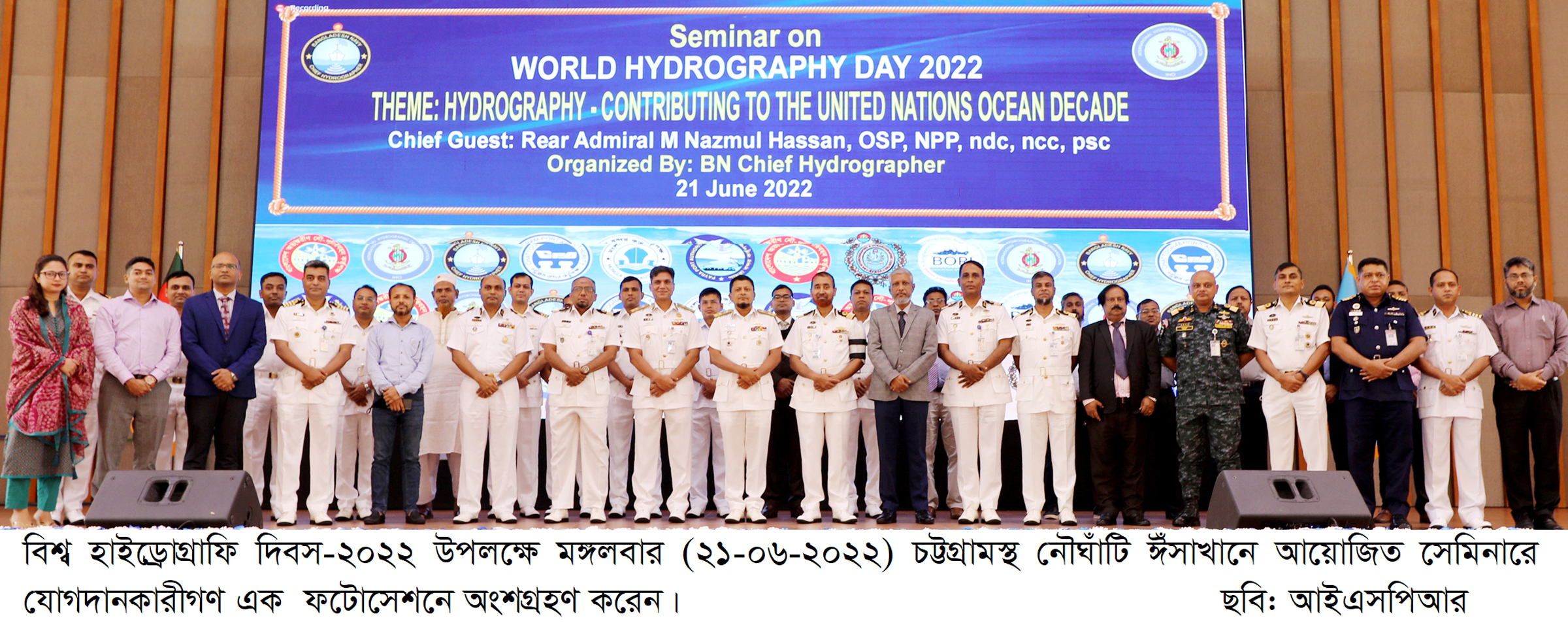
Chattogram, 21 June 2022: Hydrography- Contributing to the United Nations Ocean Decade – this year on the theme of World Hydrography Day-2022 has been observed. On the occasion of the day, a seminar was organized at BNS ISSA KHAN Area Multipurpose Hall, Chattogram Naval Base under the management of Chief Hydrographer of Bangladesh Navy on Tuesday (21-06-2022). Commander Chattogram Naval Area Rear Admiral M Nazmul Hassan was present as the chief guest. High officials from various ministries, members of the National Hydrographic Committee, Hydrography and Maritime Organizations, Port Authorities, Universities, Maritime Research & Training Institutes and many Hydrographers were present at the seminar.
Sustainable ocean management, remote sensing in oceanography, Blue Economy and the importance of ocean literacy in achieving the UN Ocean Decade Goal were discussed in the seminar by Hydrographers and ocean science experts. The speakers also emphasized the enhancement of cooperation and coordination between the stakeholders related to Hydrography for promoting the Blue Economy of Bangladesh. Chief Hydrographer Commodore A K M Sherafullah of Bangladesh Navy delivered the welcome speech, whereas the Director Hydrography Captain M Minarul Hoque presented the keynote paper.
Bangladesh is the 70th member of International Hydrographic Organization (IHO). Understanding climate change, monitor the movement of pollutants and protect biodiversity, Data and metadata derived during the hydrographic survey are extremely useful for collaboration with ocean science. Bangladesh Navy acts as the focal point of all hydrographic matters in the sea area of Bangladesh. Bangladesh Navy Hydrographic Services have already developed its capability to produce international standard nautical charts strictly adhering to IHO standards. With high regard for professionalism, Bangladesh Navy has published all the required paper charts and Electronic Navigational Charts (ENC) for its sea area. These charts are updated periodically, accepted by the national and international marine communities, and distributed worldwide to ensure safe navigation.


